
Know what you're buying before you close.
I research the parcel, find the issues the listing doesn't show, and help you understand what they actually mean for your plans. Human research + active consulting. Flat fee, no stake in whether you close.
How the engagement is structured
Landisle Consulting LLC · Independent of brokers, sellers and lenders
Run on every parcel, every tier — title, access, zoning, utilities, hazards.
I'm not a broker. My fee is fixed before I research, so the report says what the records say.
Priced per parcel before I start. No hourly creep, no surprise invoice.
Recorded instruments, county GIS, planning ordinances and FEMA panels read in full, parcel by parcel. No automated valuation, no scraped summary.
One property or a pipeline. I help you work through it.
For firms · recurring research + consulting
Buy land regularly?
Your acquisition team shouldn't be spending hours digging through county GIS, deeds, flood maps and planning records. Send me the parcel. I research it, flag what matters, and walk your team through what I found.
1 parcel or a pipeline. Nationwide. Volume pricing available.
For buyers · one-off parcel help
Buying one piece of land?
Start with the free preview. If it's worth a closer look, I'll do the full research and work through it with you — flat fee, no commission.
What a $21,000 listing didn't show.
“Beautiful wooded acreage with mountain views and seasonal creek. Great hunting and recreation. Road access. No restrictions. Priced to sell, motivated seller.”
- 01
The road access is an ATV trail.
No vehicle access of record was found. A visible trail alone does not establish a recorded right to drive to the property.
- 02
The covenants forbid living on it.
No residence and no timber harvest until the owner-financed loan is paid in full. Fifteen years at their terms.
- 03
The real price is not $21,000.
Financed to term, the total lands near $34,000 on a parcel advertised at $21,000.
- 04
The listing page already says sold.
It is being resold privately, and the seller may still owe on the original contract, which means those covenants follow the land to you.
Why it mattered
The advertised access, restrictions and price did not tell the whole story. The financed total was about $13,000 higher than the listing price, and the recorded conditions mattered for anyone planning to live there.
Next step
Before proceeding, verify recorded vehicle access, the restrictions and the remaining financing obligations with the appropriate professionals. This is a difference uncovered in the research, not a claimed client saving.
Research the records. Understand the implications.
I check access, recorded restrictions and the ground itself, then explain what each finding means for the way you want to use the land. The report documents the work; the consulting helps you make sense of it.

The road in the photos is not always the road on the deed. I read who has a recorded right to use it, and who does not.

Covenants, liens, severed minerals. Written down decades ago, still binding, still waiting for someone to actually read them.
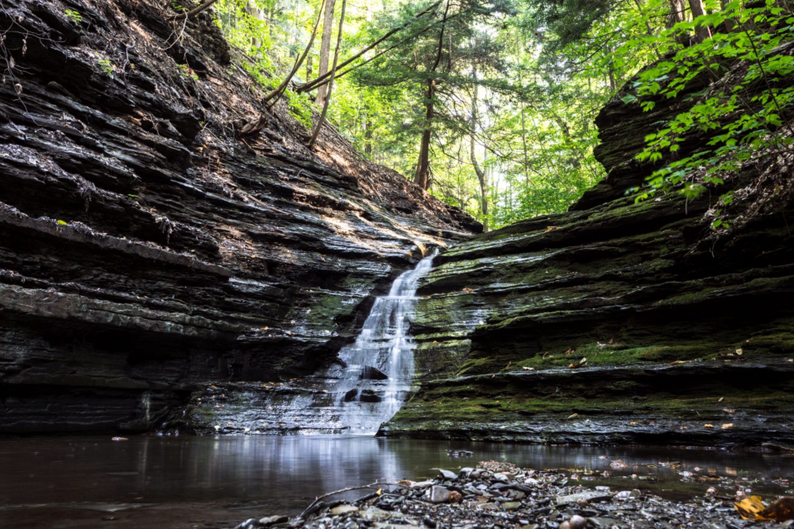
Flood, wetlands, soil and slope maps point to questions about building and septic. I explain the clues and what needs site testing or professional review.
Slope, tree cover and the way water moves across a parcel are visible in aerial imagery. I read it against the parcel boundary, not against the seller's photo set.
Aerial imagery adds context on timber, terrain and access that ground-level listing photos may not show.
Aerial footage: John Fowler (CC BY 2.0), Phil Conrad and EagleView (CC BY 3.0) via Wikimedia Commons.
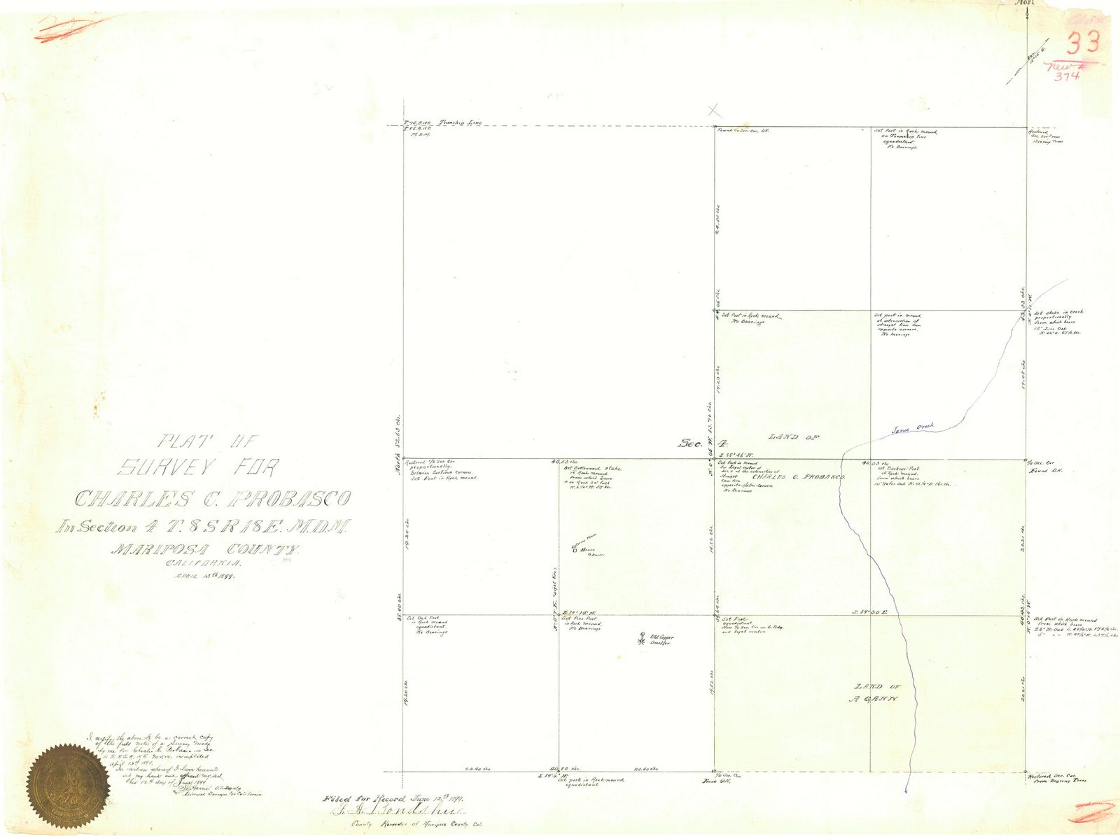
I work for you, not the seller. I research the records, explain the gaps, and help you work through the next steps before you commit. I'm not a broker and I don't take commissions — my fee doesn't depend on whether you close.
Twelve questions, in the order that matters.
Parcel identity
APN, legal description, boundaries of record
Legal access
Deeded frontage, easements, prescriptive claims
Flood exposure
FEMA zone against the parcel polygon
Zoning and use
Permitted use, setbacks, buildable envelope
Covenants
Recorded restrictions, HOA, deed conditions
Liens
Encumbrances, judgments, back taxes
Mineral rights
Severance history, active leases
Water
Public service, well records, surface rights
Soil and slope
NRCS survey, drainage, septic suitability
Wetlands
NWI indicators and constraint mapping
Tax posture
AG exemption, rollback exposure
Comparables
Closed sales within eight miles
Findings are marked confirmed, unverified or inferred, with sources and what needs checking next. I walk you through what they mean for your plans. Research and consulting do not replace a survey, legal or title opinion, engineering review or county approval.
The full run is 47 checks — read them all on the land due diligence checklist, or start with my guide to how land due diligence works and the order to run it in.
Download 47-point checklist“These reports are incredible, and the side-by-side made the decision really clear.”
Not sure what to check first? Read what to look for when buying land or see my land due diligence services if you want the research done for you.
The records tell you what exists. I help you understand what it means.
Every engagement is quoted flat-fee per parcel before work begins, and every quote carries the refund policy. You get the research, and you get me on the phone to make sense of it.